Stormwater Field Data Collection
Back to Project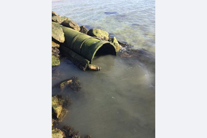
Project Description
Municipalities are increasingly faced with requirements to collect, track, and manage asset related information. For example, the 2016 Small MS4 permit includes requirements for outfall mapping and inspections, catch basin inspections, and BMP inspections.
CEI has implemented a web-based field data collection system for stormwater features (e.g., outfalls, catch basins, manholes, drainage channels, culverts, BMPs, etc.). The field data collection system is highly customizable and is designed to increase efficiency, minimizes errors, and provide the ability to continuously share data as it is being collected.
CEI’s web-based field data collection system relies on a combination of ArcGIS Collector (“Collector”), ArcGIS Survey123 (“Survey123"), and ArcGIS Online.
- Collector enables a user to load GIS layers onto a mobile device, locate features using GPS, and make modifications to the GIS layers while in the field.
- Survey123 enables custom, form-based collection of inspection data using a mobile device.
- ArcGIS Online is a customizable web-based map.
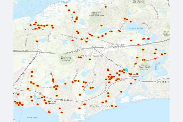
All collected data are continuously shared with office personnel and municipal clients.
All collected data are stored in tabular and spatial form that are easily manipulated for future integration into the municipality’s GIS and asset management systems.
CEI has implemented the field data collection system for more than one dozen municipalities.
